My first weeks as a CDIP intern have been an enriching experience. I have met the majority of the staff members and solidified my project goals. Before I describe the work I have been doing so far and the project I am starting, I need to clarify what CDIP actually does. Now that I have been at CDIP for a week and a half, I can better explain exactly what CDIP does and how it does it.
CDIP (Coastal Data Information Program) collects data related to ocean waves around the world using a system of 60 buoys around the US and several others off foreign coasts. The bulk of the buoys are located off the coast of Southern California. Every 30 minutes, the buoys collect new data about wave peaks, period lengths, swell direction, etc. This data is sent via Iridium (a company) satellite to a terminal in Hawaii known as "The Gateway" where it is then sent to the DoD (department of defense), Homeland Security and CDIP. The CDIP programmers format all of the data and check it for errors before releasing it to the public on their website.
Now I am going to explain my projects. I have 2 main projects: an outreach project and a software/hardware project.
Project 1: Outreach
Last week, I was primarily making information sheets containing facts about CDIP buoys including general information, components of a boy and the mooring that keeps the buoys attached to the sea floor. This initial mini-project has helped me to better understand what CDIP does and be able to effectively communicate that information to the public. I went through many versions of these information sheets, with a lot of great feedback from Ms. McWhorter, before I achieved the final products.
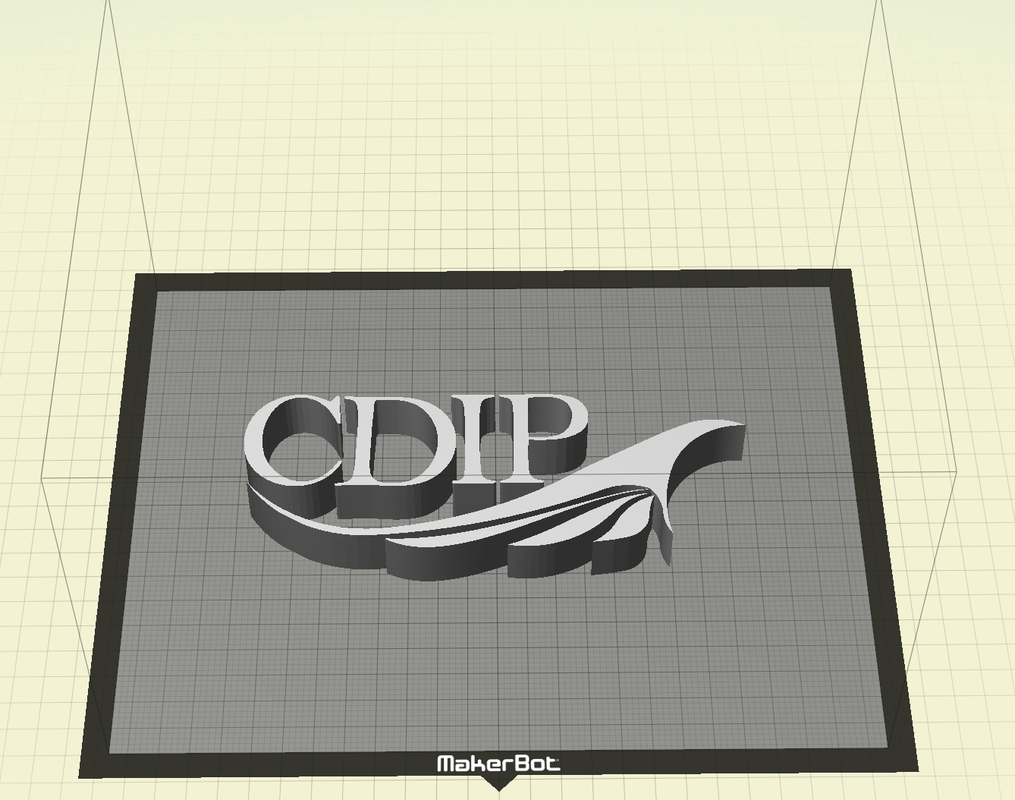
I also used SketchUp for the first time, and made the CDIP logo in 3D. This was a short 2-3 hour project where I made the CDIP logo 3D using sketch and then put it in Makerbot software to be exported as a file that the Makerbot can read to print my work.
Here is my 3D work in Sketchup:
Here is my 3D work in Sketchup:

Here is the logo after it had been manipulated in the Makerbot Desktop software:
Project 2: Field Station Set Up
Starting Friday of last week I started working on my second project. This project is with Grant, a programmer at CDIP. I am helping him install and configure a clock (called Chronodot) onto a Raberry Pi-like computer called "BeagleBone Black".
Starting Friday of last week I started working on my second project. This project is with Grant, a programmer at CDIP. I am helping him install and configure a clock (called Chronodot) onto a Raberry Pi-like computer called "BeagleBone Black".
 RSS Feed
